When is the next heatwave in the UK and when will it stop raining? All we know about the weather on the way
You might be wondering whether the next heatwave in the UK could be closer than you think as temperatures remain high in Europe

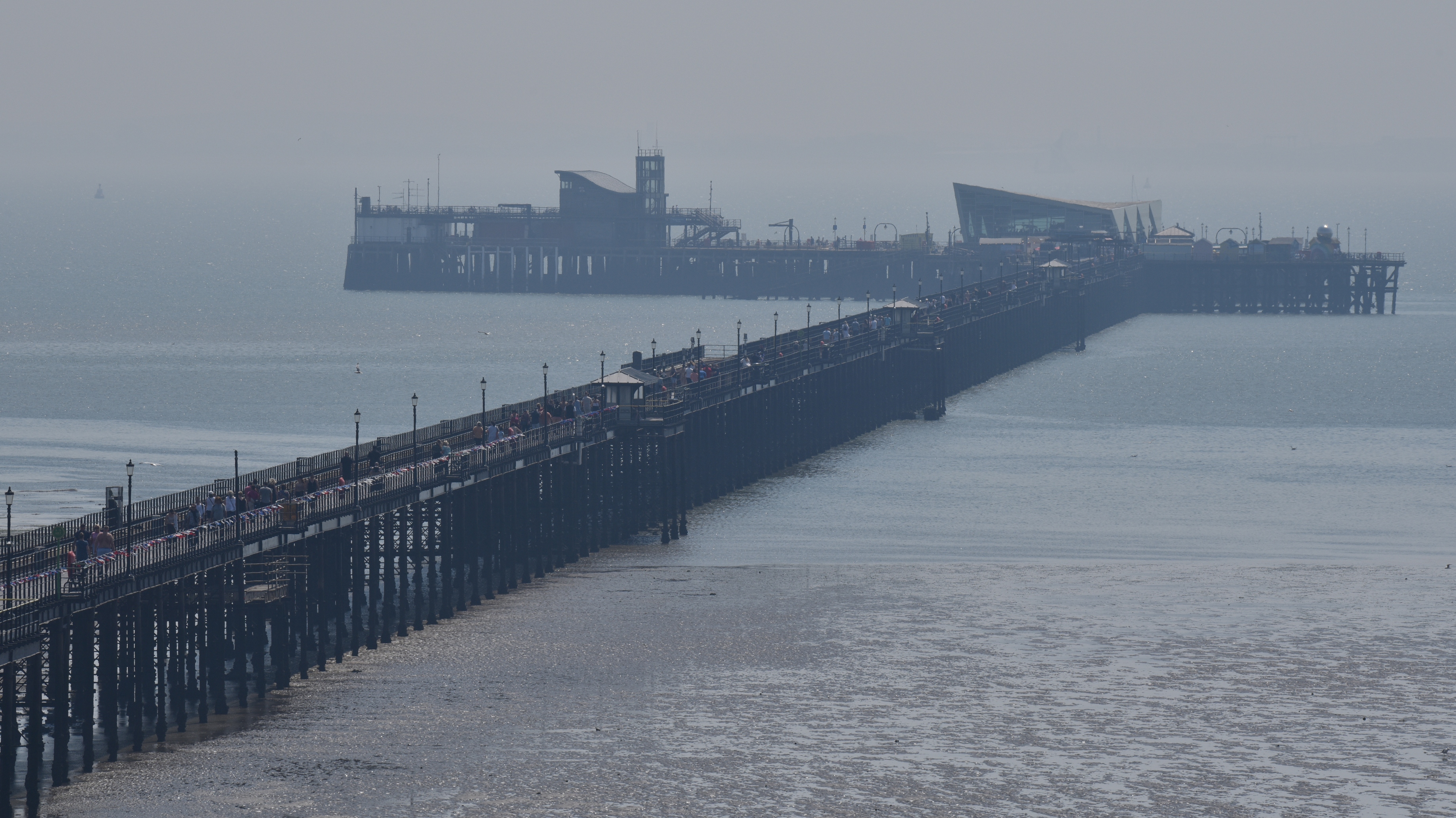
Whether you’re worried about or hoping for a heatwave in the UK the latest forecasts have revealed what we can expect as August draws nearer.
In recent months many of us will have been searching for how to keep cool in summer as June’s temperatures meant plenty of sunny days. However, the UK’s unpredictable weather has taken a turn for the worse in recent weeks with rain and windy conditions. And just like Brits wondering when it will snow in the UK after a cold snap, some might be curious about whether hotter weather could be on the way given the heatwave currently taking hold in parts of Europe. The latest forecasts suggest the UK probably won’t be facing these extreme temperatures as unsettled conditions are set to continue.
But when is the next heatwave in the UK, when will it get warmer again and when will it stop raining? We reveal all we know about the weather coming our way…
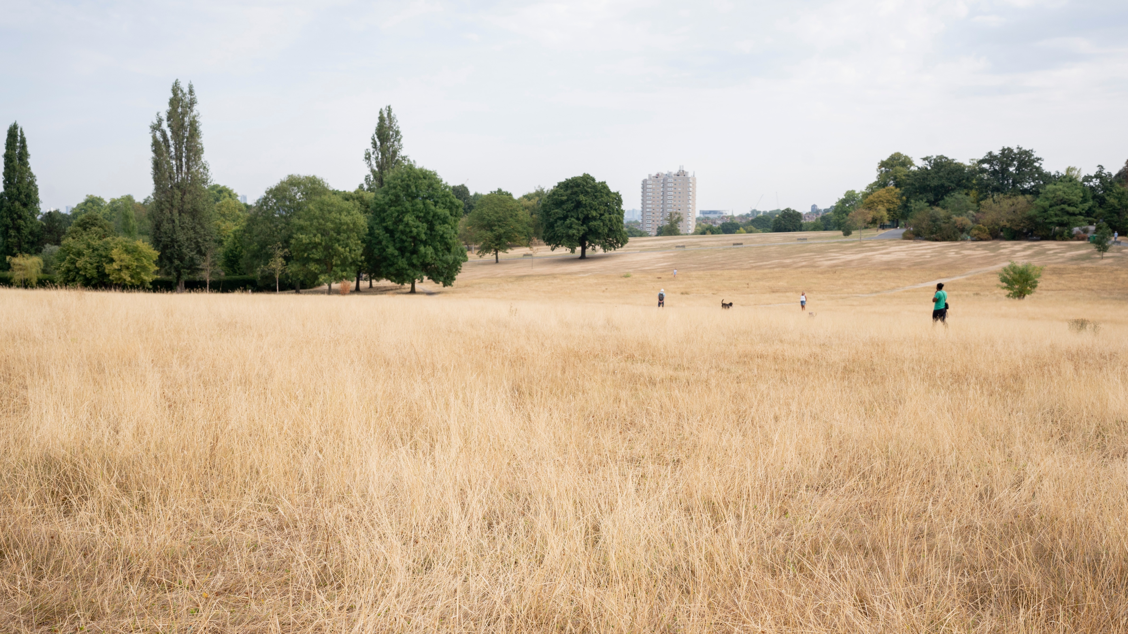
When is the next heatwave in the UK?
As revealed by the Met Office’s Aidan McGivern in his Deep Dive into the weather forecast for the next few weeks, whilst parts of Europe might be experiencing “several persistent” heat waves at the moment, “none of them are affecting the UK”. Those who’ve been concerned that we could see a repeat of the scorching temperatures of last year might not have to worry as it seems the next heatwave in the UK isn’t imminent at the moment.
There currently isn’t another major heatwave predicted for the UK and there’s an area of low pressure where the winds are “diving south” over the country. This is set to stay “the same for time being” according to Aidan for “at least the next week or so”. The meteorologist explained that this in turn means the UK’s weather will be “more of the same” conditions we’ve been experiencing in recent days rather than another heatwave developing soon.
He suggested that rain or showers will likely be coming in from the “low pressure systems” that are “diving across the UK from the north west. This means Brits can expect more cool and unsettled weather with temperatures “likely” to be below average during the next week.
When will it get warmer in the UK?
It might not have been super cold during July but for anyone hoping it might get slightly warmer, I’m afraid it might still be a while yet. The Met Office’s long-range weather forecast for the periods Monday 24th July-Wednesday 2nd August and Wednesday 2nd August-Wednesday 16th August suggest that the temperatures will remain average for the time of year. It’s only towards the middle of August and the end of these periods that they expect the temperatures to “perhaps” become a “little warmer”. So it seems like it’ll be almost another month before it gets warmer than it currently already is in the UK.
Sign up to our free daily email for the latest royal and entertainment news, interesting opinion, expert advice on styling and beauty trends, and no-nonsense guides to the health and wellness questions you want answered.
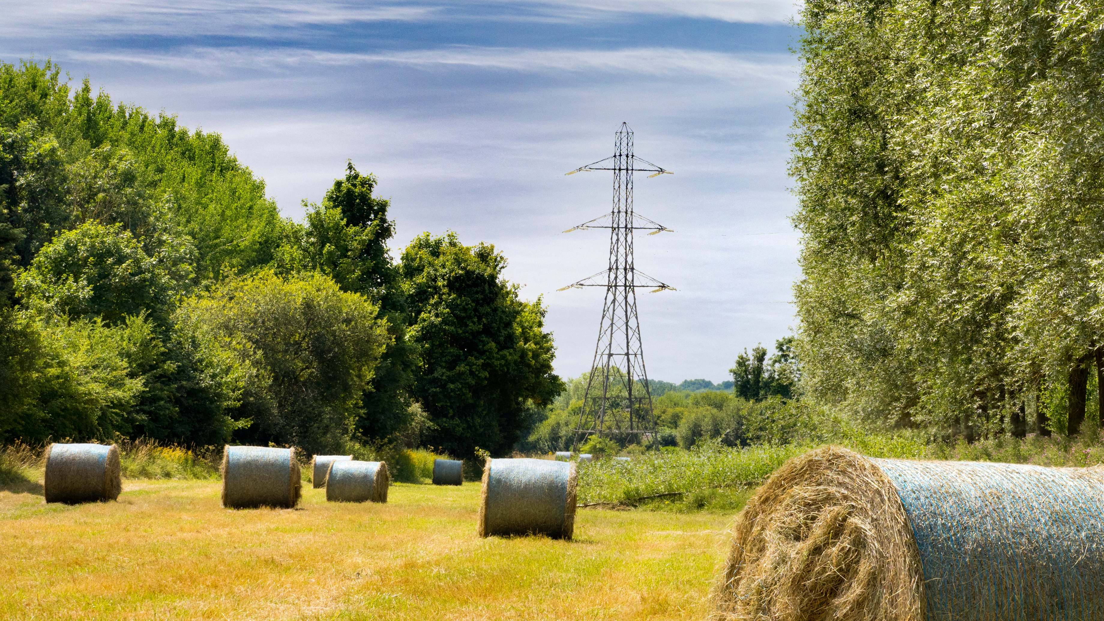
When will it stop raining?
The UK is famous for its unpredictable weather and summer is no exception as whilst we’ve had some glorious conditions throughout June, July has been shaping up to be much less consistent on the sunshine front. When it comes to when it will stop raining after the showers of recent days, the Met Office are currently predicting that unsettled conditions will continue until the mid-August. Their long-range forecast for the period from Monday 24th July-Wednesday 2nd August states that “heavy and thundery showers” and “breezy conditions” are still possible.
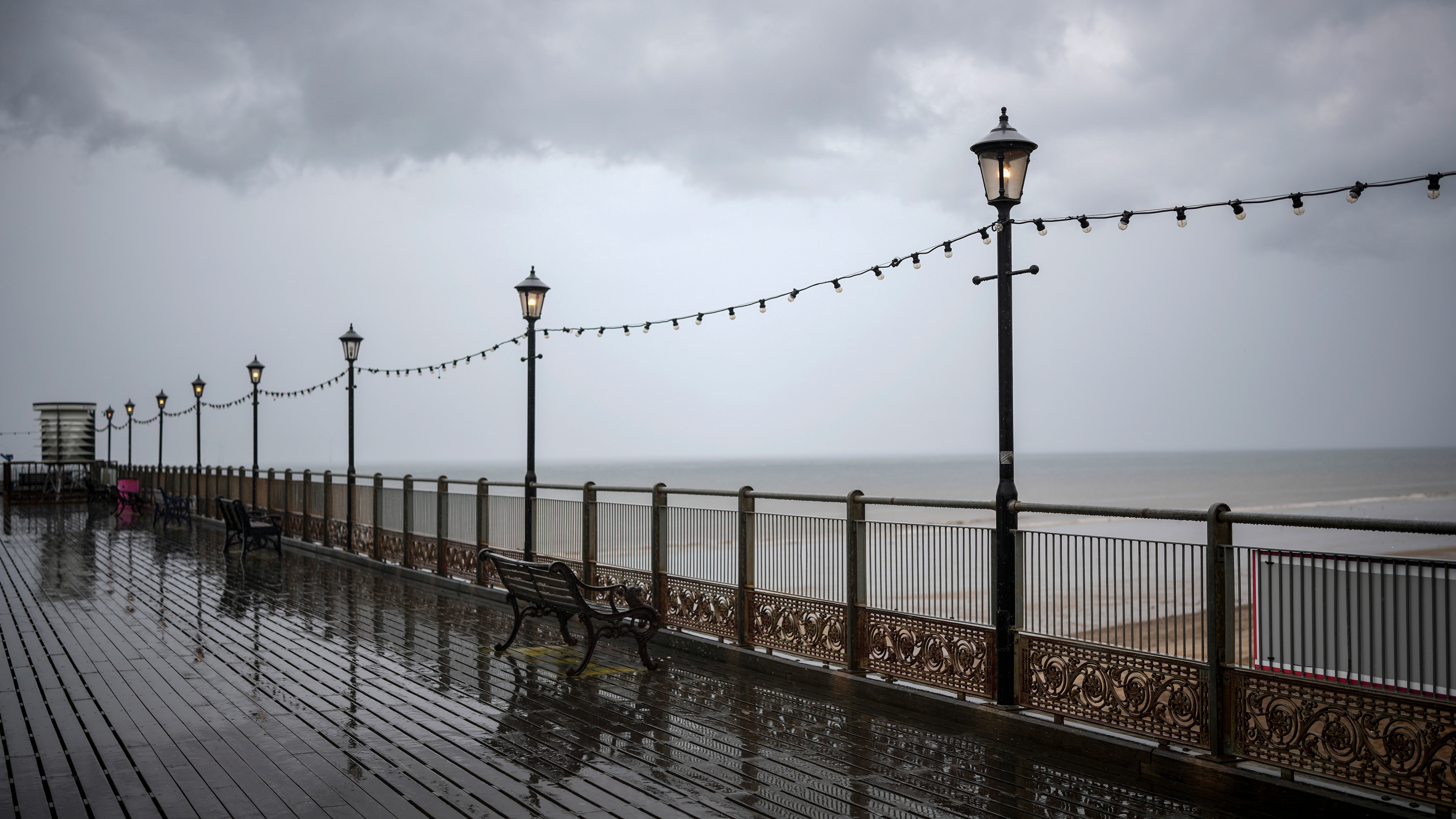
The Met Office expects a “mix of prolonged outbreaks of rain and showers” to be possible for “most” areas, with a risk of these conditions turning “heavy and thundery” in the North West of the country in particular. As the end of July approaches, north-westerly winds are set to become “more predominant”, however there’s good news for those living in the south west of the UK as high pressure at this time means “long spells of rain” will become less likely.
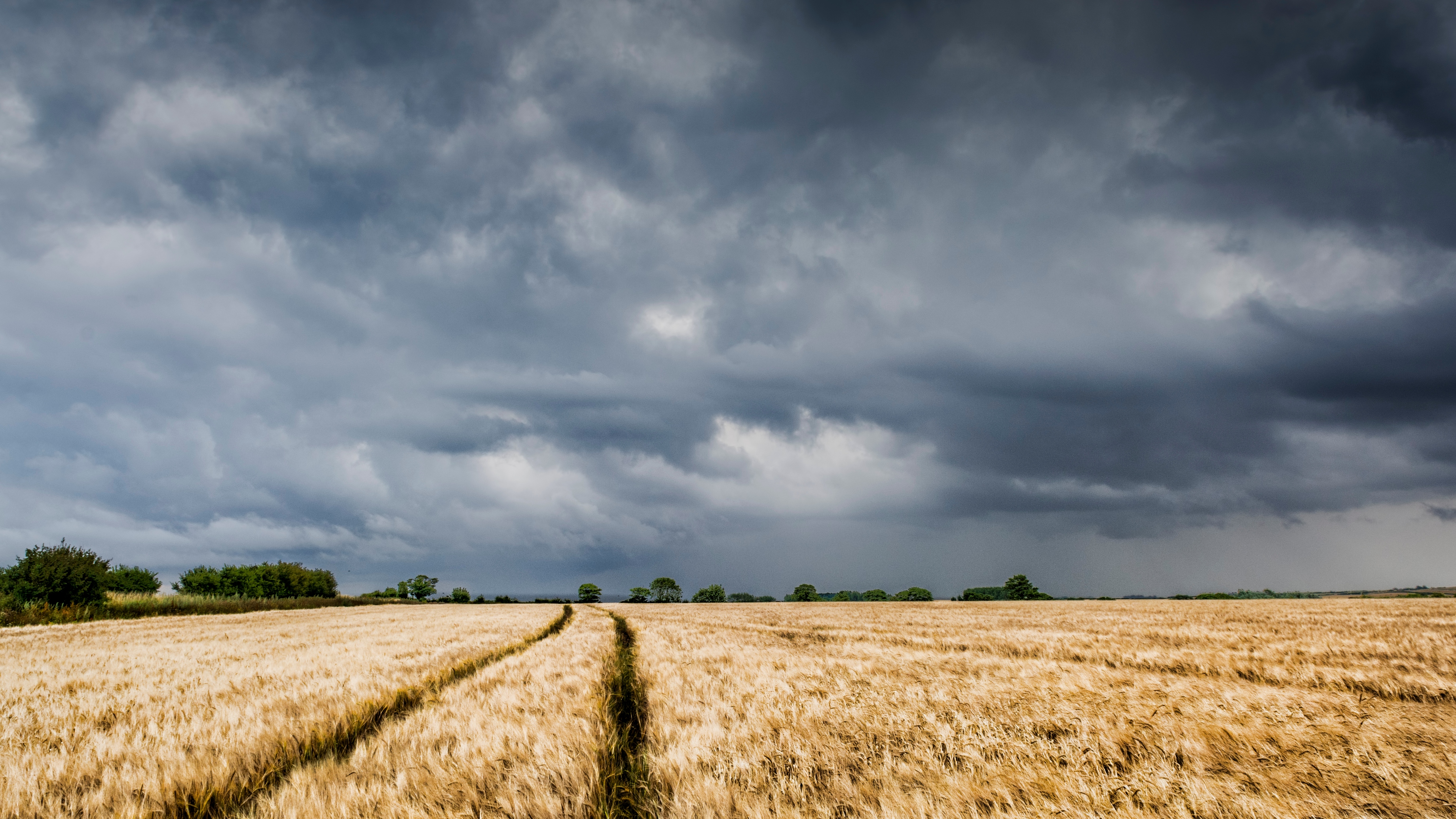
From 2nd August-16th August they suggest that “prolonged rainfall” remains a possibility and that this could mean that the average total rainfall for the time of year could be pushed to above average. They added that the likelihood of more rain starts to lessen towards the middle of August. As we might’ve expected, it seems the return of higher temperatures will probably coincide with the rain stopping. Unfortunately, UK residents will have to put up with showery conditions for a little while longer.
Emma is a Royal Editor with nine years of experience in publishing. She specialises in writing about the British Royal Family, covering everything from protocol to outfits. Alongside putting her extensive royal knowledge to good use, Emma knows all there is to know about the latest TV shows on the BBC, ITV and more. When she’s not writing about the latest royal outing or unmissable show to add to your to-watch list, Emma enjoys cooking, long walks and watching yet more crime dramas!
